
Popular routes
All 591 route guides — each with a great-circle map, both directions, time difference and jet lag.
Airport guides







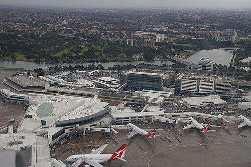
All 265 airport guides — runway layouts drawn to scale, local time, nearest airports and distances to world hubs. Photos from Wikimedia Commons, credited on each guide.
Computed lists
Why the two directions differ
New York to London is usually scheduled about an hour shorter than London to New York. Over the North Atlantic, as across most mid-latitudes, winds at cruising height blow mainly from west to east, sometimes at well over 150 km/h in the jet stream. Our flight-time estimate integrates a latitude-dependent westerly wind along the great circle, calibrated against 109 published scheduled durations on 55 routes; across them it is typically within 9 minutes.
What we don’t cover
Airline schedules, which carriers fly a route, fares and live flight status come from proprietary systems, so we don’t show them and we don’t guess. What you get here is geometry, time zones and a transparent estimate — the parts that can be computed from open data and checked.